Case Studies LINZ
Government & Open Data
How LINZ built New Zealand's
national data service on
Koordinates
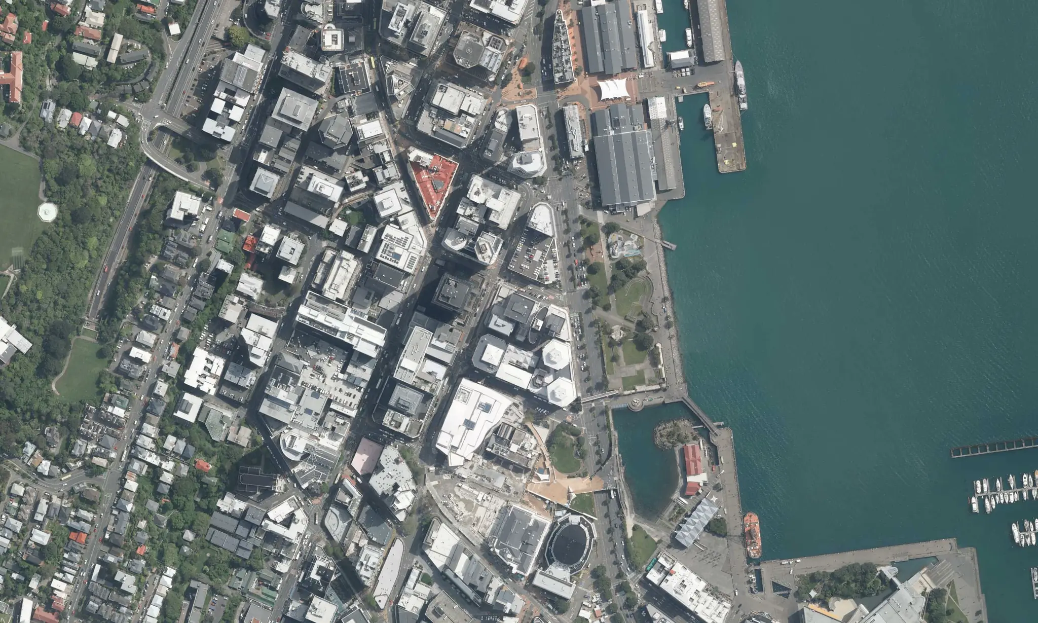
Land Information New Zealand manages the country's authoritative geospatial data. Koordinates powers the platform that makes it accessible to government, industry, and the public.
10+
Year partnership
Thousands
Datasets published
24/7
Availability
NZ
Data sovereignty
Organisation Profile
Organisation Land Information New Zealand
Sector Central Government
Scale National
Product Koordinates Platform
About LINZ
New Zealand's authority on land and sea
LINZ is the New Zealand government department responsible for land titles, geodetic and cadastral survey systems, topographic information, hydrographic information, and Crown property management.
The LINZ Data Service makes this data publicly accessible, from property boundaries and address data to aerial imagery and topographic maps. It's one of the most heavily used government data services in New Zealand.