Koordinates Public Data Catalog
8,000 datasets published via Koordinates, included as standard.
Authoritative public data from the agencies and users that publish on Koordinates, already on the platform and already queryable. You do not select this pack or pay for it. Included with every KxAI seat.
How it works
Publishers using the Koordinates platform upload or ingest their data and publish it using Koordinates' publishing tools. All published data set to public access is gathered together into the Koordinates Public Data Catalog, for ease of discovery and use. This provides high quality, high stability published datasets to all users of Koordinates.
Superior performance
Served from Koordinates' own tile and API infrastructure, rather than proxied through to a source agency, so map draws and queries stay fast and don't go offline.
Permanent URLs
Every layer and dataset keeps a stable address. Links, API calls and citations written today will continue working into the future and after dataset updates.
Full vector and raster styling
Style it yourself instead of accepting a fixed cartography. Data-driven vector styles for points, lines and polygons, and color ramps for grid rendering.
What it covers
Property and cadastre
Parcels, titles, addresses and street names, the layers most planning and property questions start from.
Topography and imagery
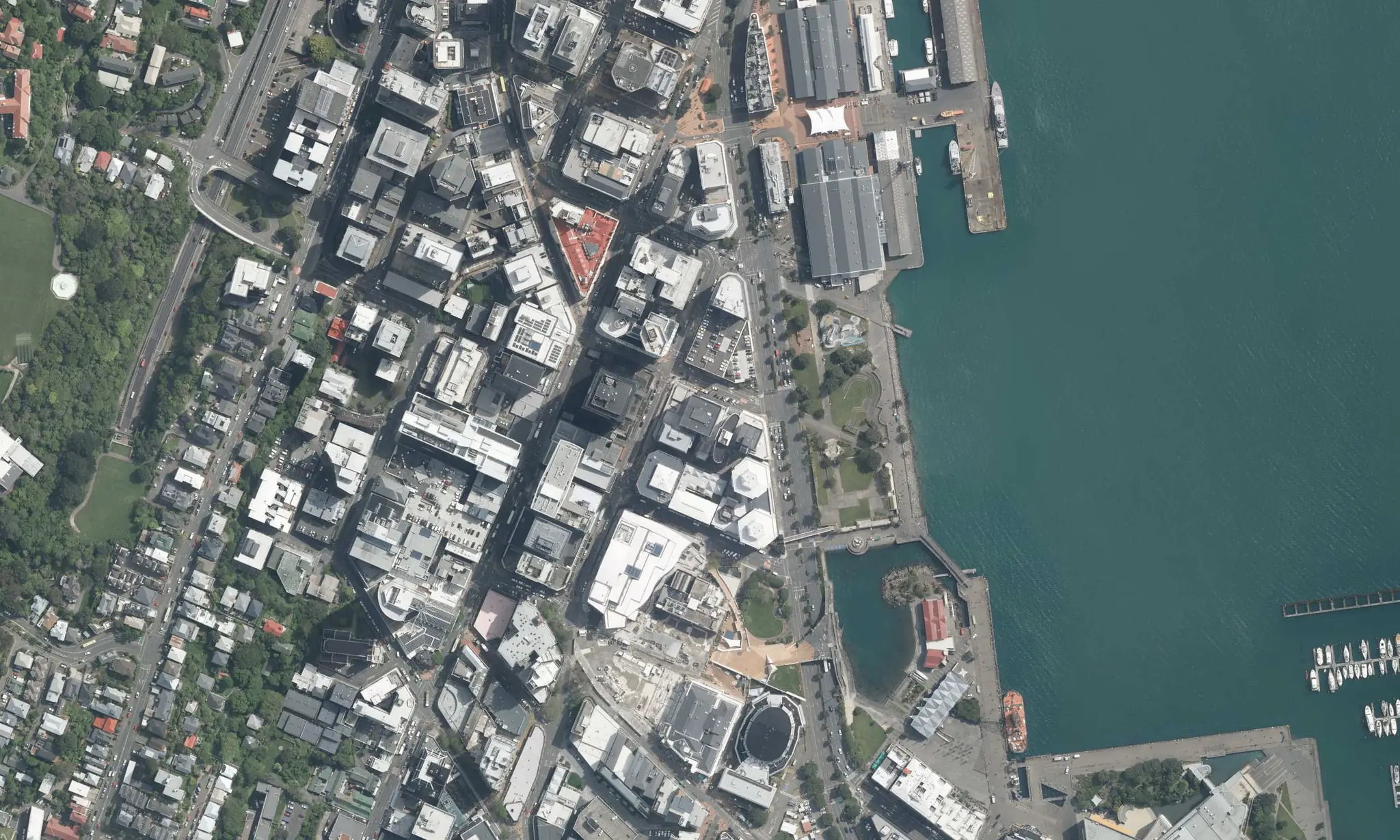
Aerial imagery, elevation and contours, hydrography and place names.
Administrative boundaries
Council, regional, statistical and electoral areas, for joining your own data to a geography.
Data types available
- Vectors Points, lines and polygons
- Tables Aspatial and flat
- Rasters Including high resolution aerials and charts
- Grids Continuous surfaces
- Discrete grids Classified values
- Point clouds LAZ and LAS
- Documents Attached to datasets
- Catalog items Pointers to third party services such as PMTiles
Current coverage
New Zealand is covered comprehensively. Australian coverage is partial and grows as more publishers come on.
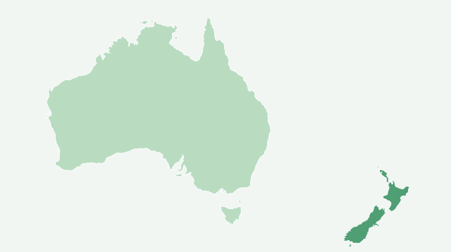
- New Zealand, comprehensive
- Australia, partial