SOLUTIONS
Build Geospatial Apps
Create your own geospatial application — without needing expensive GIS developers and enterprise software.

Scale with our APIs
Build your own geospatial applications, without needing to maintain your own backend systems or enterprise GIS.
- Koordinates creates query APIs against all geospatial data imported to our platform.
- Support for vector, raster, and grid formats, including point cloud data.
- Enjoy best-in-class performance as your app scales, without wrangling your own back-end systems.
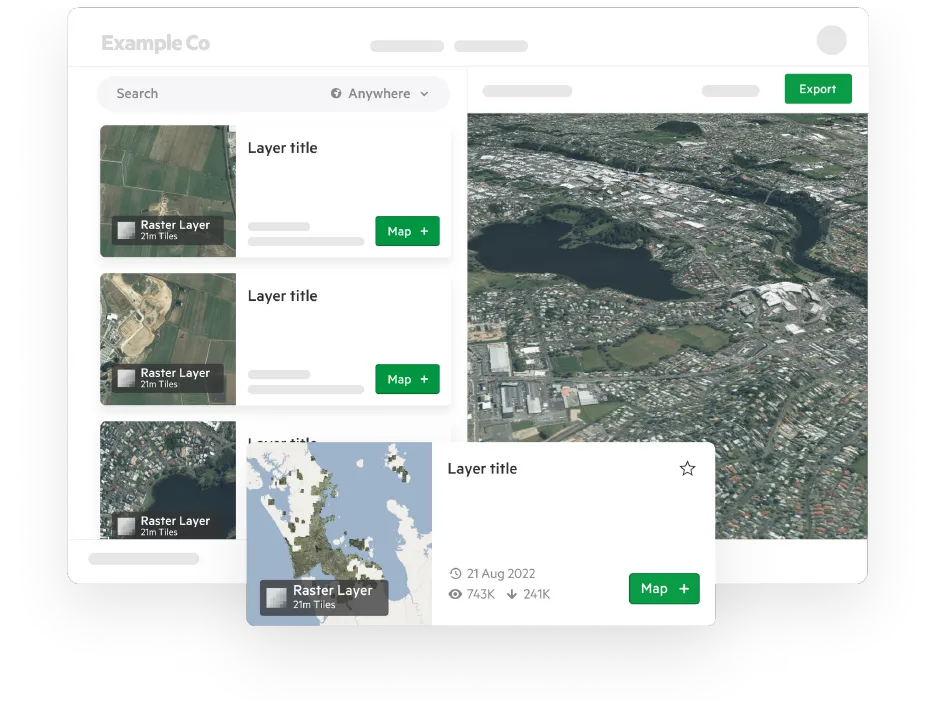
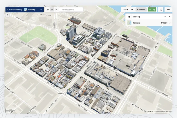
3D data portal for clients
Koordinates’ 3D data portal has superior ease of use so your clients don’t need specialist training to get started.
Data management per client
Self-load and manage datasets directly in your browser with no additional software. Manage client data into groups for delivery, track and disable access.
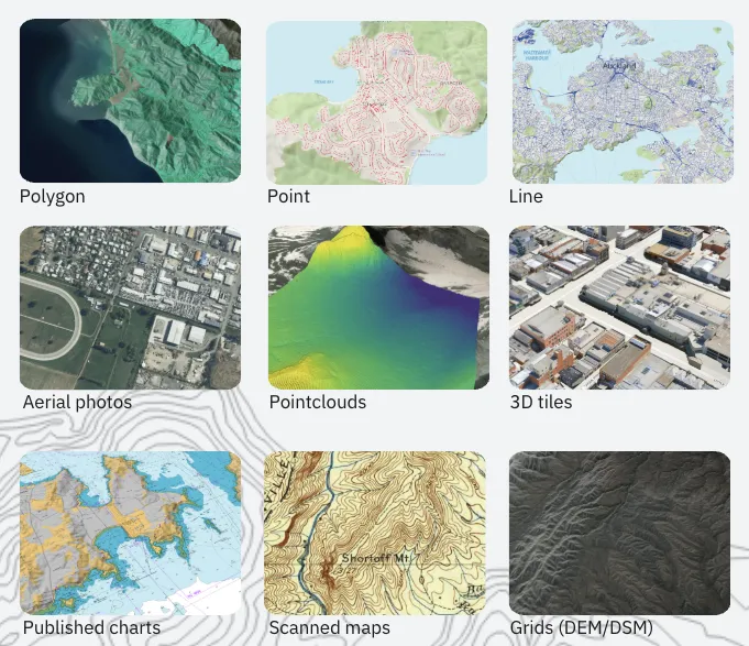
All your data types
Koordinates brings all your data types into one place, with their own data management system.
Common apps supported
Koordinates’ 3D data portal has superior ease of use so your clients don’t need specialist training to get started. They self-service online viewing, data exports including CAD up to 10GB each, streaming URL’s and API’s for Esri, QGIS and more.
No IT, secure cloud
Koordinates is a cloud platform with built in data storage, security, plugins and auto-scales no matter the size of your dataset from small to massive.
We bring the platform - you bring the data.

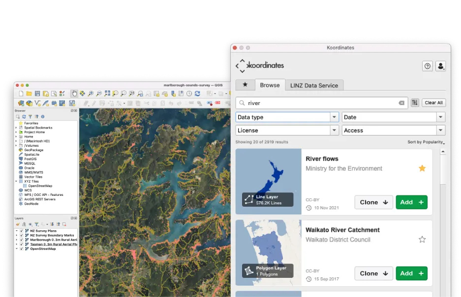
Import and maintain data
Track and trace changes with Koordinates distributed version control for data.
- Import data and manage updates from your existing sources, including Esri REST APIs, AWS S3, or drag-and-drop uploads.
- Easily review suggested changes from colleagues and collaborators, and push changes from source data with a click.
- Remove the risk from data updates with our easy-to-use tools for quality assurance and historical review.

Built for non-GIS specialists
You don’t need to be a GIS professional to maintain a powerful mapping application.
- Human-friendly data portal for your entire team to view, query, and manage data.
- Clear documentation for developers who aren’t experts in geospatial data.
- Expert customer support to help grow your app.

A secure enterprise platform
Get complete control over who can view, access, or manage your data.
- Granular access controls, ranging from completely private and secure to openly licensed for the world.
- Share with individual users or bespoke groups, and revoke access at any time with a click.
- Koordinates is ISO 27001 compliant, with over a decade’s experience in working with enterprise customers in government and the private sector.